
Gray's New Map of the United States By Frank A. Gray
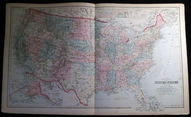
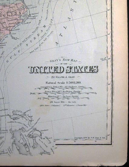
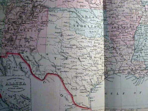
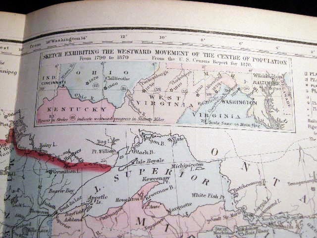
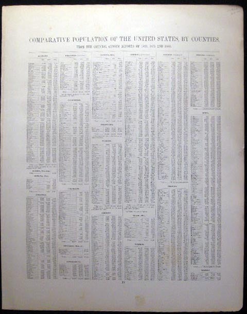
Philadelphia, PA: O.W. Gray & Son, 1882. F. One sheet, from the 1882 O.W. Gray National Atlas, New York Edition: Double-page map of the United States, with inset of the Territorial District of Alaska formerly Russian America and a smaller inset at top, "Sketch Exhibiting the Westward Movement of the Centre of Population from 1790 to 1870..."; text on back regarding U.S. population changes; at bottom margin of map copyright dated as 1879 O.W. Gray & Son. With hand-coloring in pastel tones; approx. 28 1/2" x 17 1/4" overall size; a little even toning to the paper, with a few little edge-nicks; in very good condition. Item #25037
Price: $65.00
See all items in
Americana,
United States
See all items by Map - Cartography - 19th Century - O. W. Gray - United States