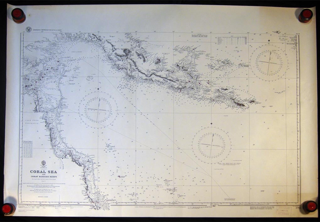
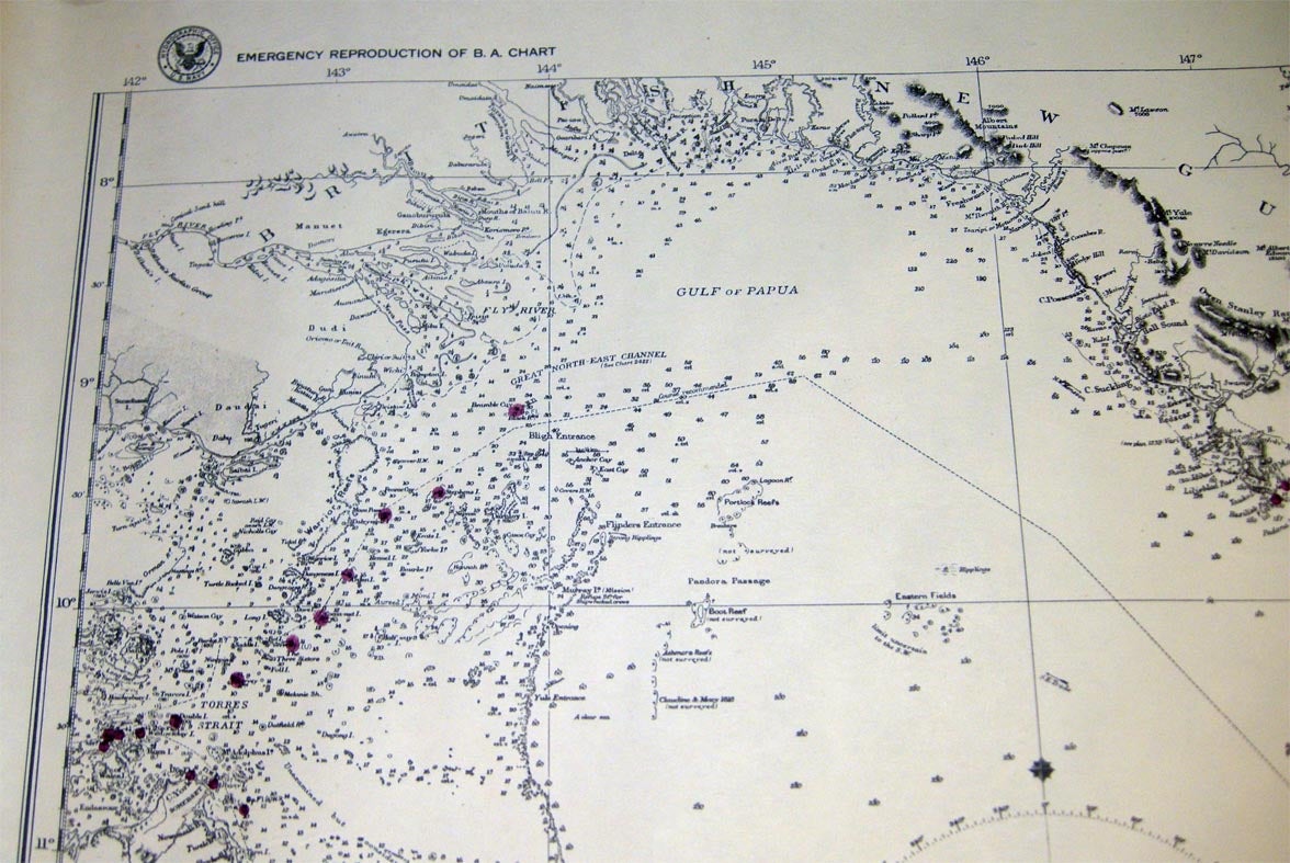
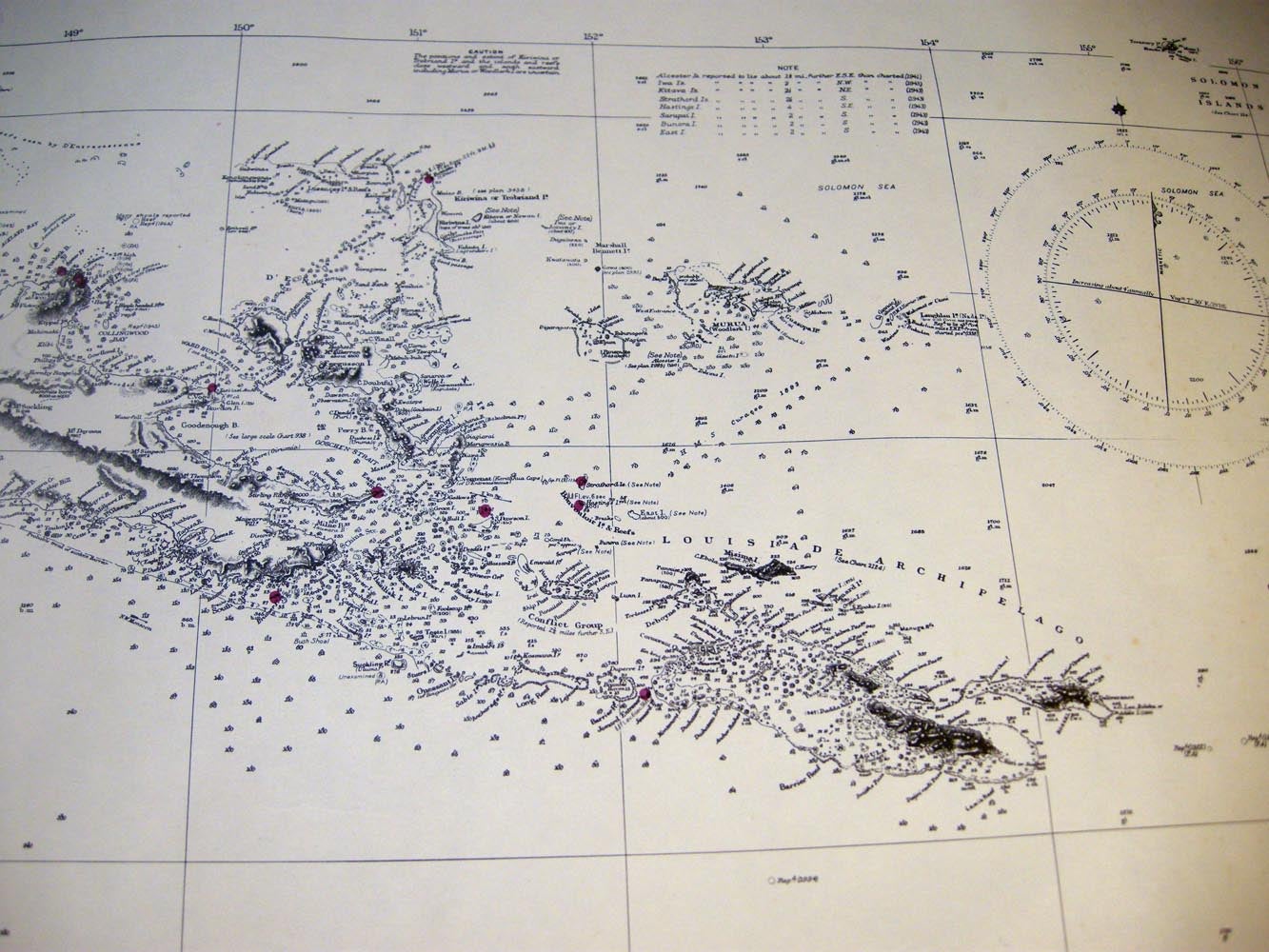
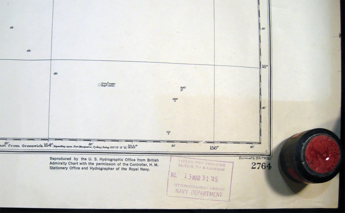
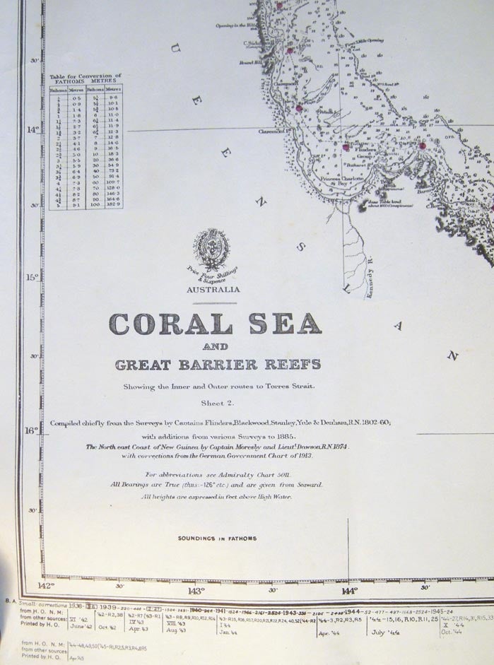
Coral Sea and Great Barrier Reefs Showing the Inner and Outer Routes to Torres Straits.
Washington, DC: U.S. Navy, 1945. Map. Not Bound. Very Good. Item #027510
A U.S. Navy WWII Emergency Reproduction of a British Admiralty Chart; showing the coastline of Queensland Australia and New Guinea; red dots at dozens of areas on these landmasses, as well as indicated among the coastal waters. With the U.S. Navy stamp in the margin. Approx. 30" x 41 3/4" overall sheet size; generous margins; printed on medium paper stock. Some edge, tips wear and surface crinkling; in very good condition overall. NOTE: Shipped rolled for safety.
Price: $65.00
See all items by World War II - Australia - United States - New Guinea - Cartography